File:Curcalen Working Map.png
Jump to navigation
Jump to search
Size of this preview: 800 × 400 pixels. Other resolutions: 2,560 × 1,280 pixels | 4,267 × 2,134 pixels.
Original file (4,267 × 2,134 pixels, file size: 1.9 MB, MIME type: image/png)
Summary
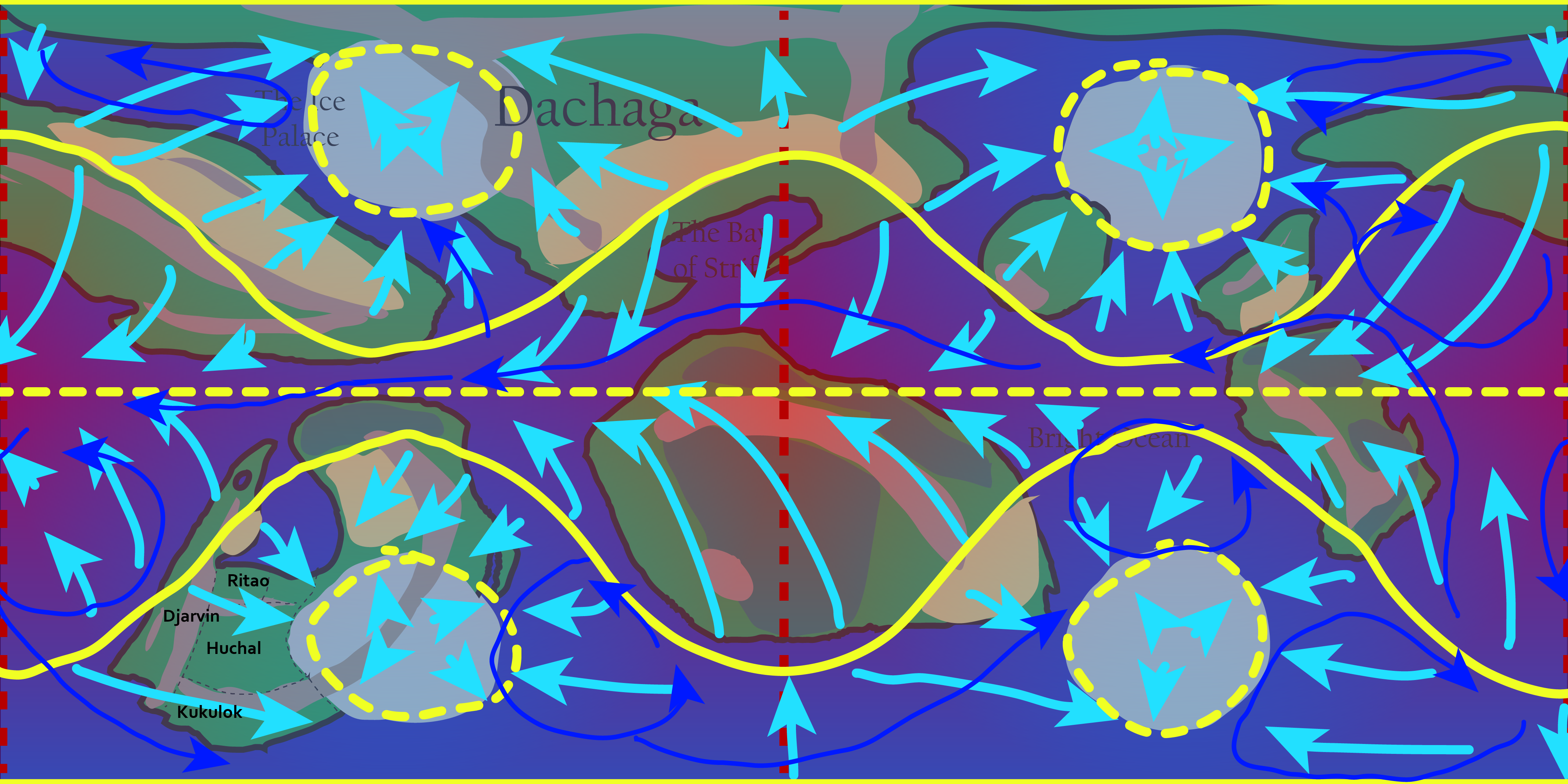
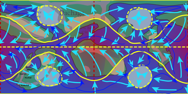
Working map of Curcalen, with layers turned on showing temperature and prevailing winds and currents
Licensing
File history
Click on a date/time to view the file as it appeared at that time.
| Date/Time | Thumbnail | Dimensions | User | Comment | |
|---|---|---|---|---|---|
| current | 13:02, 11 November 2023 | | 4,267 × 2,134 (1.9 MB) | Clé (talk | contribs) | Working map of Curcalen, with layers turned on showing temperature and prevailing winds and currents |
You cannot overwrite this file.
File usage
There are no pages that use this file.